In the 1880's Pittsburgh industrialists conspired with the Vanderbilt Organization in an attempt to undermine the transportation services of the Pennsylvania Railroad. The enterprise, known as the South Pennsylvania Railroad would attempt to construct an alternative rail alignment along the southern tier of the state. As this route lacked a natural waterway to break through the various mountain ridges it would have to rely on a series of 9 tunnels to forge its own path. Work on these tunnels as well as other grading along the right of way commended in 1881, but by 1885 Vanderbilt was learning why the name brand Pennsylvania Railroad had followed the sinusoidal path of the Juniata river. Even with the tunnels and generally favorable conditions for the 50 miles in the Cumberland Valley west of Harrisburg, Vanderbilt faced the reality that even if the South Pennsylvania Railroad were completed, the result would be a lackluster alignment beset with sharp curves and steep grades. The solution was to admit defeat and declare a truce with the PRR, exchanging the SPRR right of way for the PRR's interest in the budding NY Central competitor West Shore Railroad.
For the next 50 years little was done with the SPRR right of way and in a move that may have ultimately proved short sighted the PRR sold it to the newly established Pennsylvania Turnpike Commission in 1938 for conversion into the nation's first inter-city limited access motorway. The most attractive part of the alignment for the Turnpike were the 9 mostly completed tunnels, with 7 being incorporated into the final design. Motor vehicle technology of the time made hill climbing particularly fraught and allowing 1930's cars and trucks to blast through mountain ridges at grade was critical to the highways success connecting the Pittsburgh and Philadelphia markets. However as motor vehicle technology and highway demand increased over the next 30 years, some of the tunnels became both less necessary and increasingly congested. The result was a bypass plan that would replace two tunnels just east of Breezewood, PA and a third at Laurel Hill with new alignments and open cuts. In 1968 13 miles of the original turnpike near Breezewood was abandoned in place and for the next 40 years it remained a curiosity for urban explorers. In 2012 it was re-opened as a bike trail with full access to both tunnels and their related support structures and in 2020 I was able to document the complex with the resulting photographs available here ( mirror ). Also included are some rail photos from Hagerstown, MD.
The abandoned section of the PA Turnpike included both the longest, Sideling Hill, and shortest, Rays Hill, tunnels on 8 tunnel system including the Northeast Extension. The first 4 miles of the abandoned section starting from the eastern end is still owned by the Turnpike Commission with parts being used for storage and police training. The eastern end of the bike trail is adjacent to the abandoned Sideling Hill service plaza, however that is pretty much just a parking lot with nothing to see. The first point of interest is the 6782 foot long Sideling Hill tunnel.

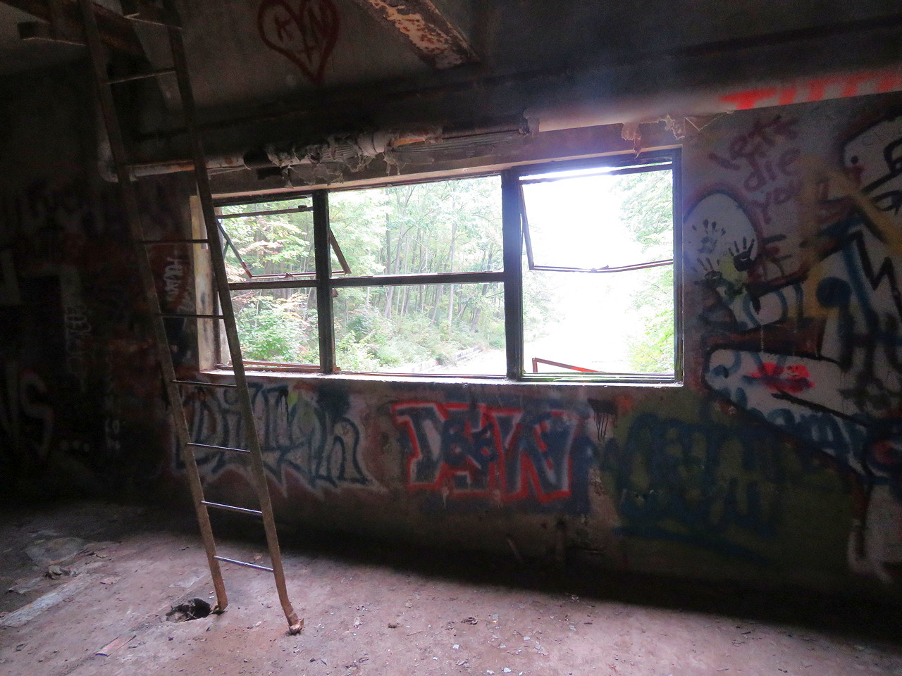
The intact 1938 tunnel portals show off the Art Deco design along with unsmoothed concrete facing designed to imitate the aesthetic of local rock formations. It is important to remember that this is a railroad tunnel adapted for automotive use and the original design makes that a bit more clear.

The headhouse located at each portal used a common design with a two story support building built into the left side of the abutment and a fan plant located on top. The support building consisted of a loading dock on the ground floor and general repair and mechanical room on the intermediate level. Here we have a view of the westbound Sideling Hill tunnel's loading bay with the door providing access to the tunnel.


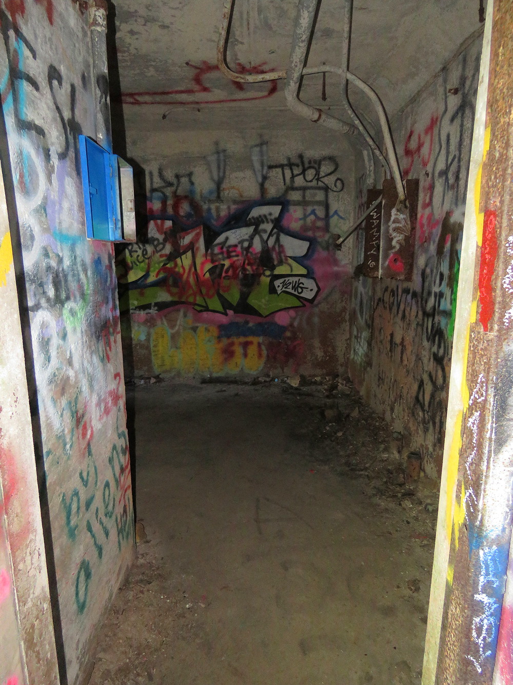
Each support building had an internal staircase that in most cases have completely rusted away at the base making their use impractical.

Therefore access to the fan rooms is obtained by walking up the slopes adjacent to the headhouse and then circling around behind to enter via the stairs at the rear of the fan plant.


Located on both ends of the fan plant are two e-motor rooms where the electric motors that run the fans were located and maintained.

Each plant has two fans of the squirrel cage type that would provide positive pressure to push the noxious automobile exhaust fumes out from the main portals.


Each fan house provides access to a plenum that runs above the complete length of the tunnel to distribute the fresh ventilation air. Also visible are the remains of a metal trackway that runs just to the right of the plenum centerline. The railroad nature of the tunnel is even more apparent from the profile of the tunnel's true ceiling.

The slab of concrete diving the plenum from the roadway is supported in part by steel rods extending down from the ceiling.

Lighting was maintained from above with the long removed fixtures no presenting as circular holes in the floor slab. The air was ducted down to the roadway via rectangular slots.

Like I said, the plenum passageway runs for the entire length of the tunnel and creates a natural echo chamber. The support rods can also double as an impromptu string instrument as seen in the videos below from both the long and short tunnels.
The mechanical room on the intermediate level features a window that provides an elevated view of the entire tunnel approach plaza. As double track railroad tunnels each bore could only fit two vehicle travel lanes and the normally 4-lane divided highway would need to neck down at each of the 7 tunnels. By the 1960's this was creating 30 minute plus traffic delays at several of the portals spurring efforts to either double or bypass the the tunnels.

Inside the road portion of the Sideling Hill tunnel, while the plenum slab is showing some deterioration at the ends, the middle of the bore is shows remarkably little water ingress. This is a testament to the quality of the concrete lining that is now 80 years old and 50 years beyond and maintenance.


Here we see a lamp housing and air vent in the roof slab at the center of the Sideling Hill tunnel. A constant air flow was encouraged by making the vent slits wider in the center of the tunnel than at the end. Taking some form of portable lighting is a must as they are pitch black inside and what little debris exists inside still presents a hazard to bicycle tyres.

Western portal of the Sideling Hill tunnel as seen from inside.

The eastern portal of Sideling Hill tunnel is a bit more overgrown than the west, but as it is the post isolated it has the least amount of spray art. The active PA turnpike crosses over the abandoned turnpike over the length of the Sideling Hill tunnel.

While 3 over/underpasses crossing the abandoned turnpike were removed around 2005, two smaller overpasses remain complete with the 1930's era concrete guardrails.

At only 3532 feet, Rays Hill Tunnel was the shortest on the original Turnpike and as such was only equipped with a single fan plant at the western portal leaving the eastern portal bare. This begs the question if there is any egress from its plenum on the eastern end of the tunnel and regrettably I did not think to climb up and look behind the portal structure at the time. The small storage room adjacent to the portal did not lead to any internal staircase.

Looking west from the east end of Rays Hill Tunnel the western portal is plainly visible.

The road entering Rays Hill Tunnel's western portal appears to still be in use, however this was part of the set decoration for the 2009 film "The Road" that was set in a posy apocalyptic United States. As this portal is the closest to the Breezewood parking area it has seen the largest application of street art.


This view of Rays Hill Tunnel's utility room shows how equipment was moved up from the loading bay, the brick construction of interior headhouse walls and cable pipes embedded in the concrete. This level also had plumbing facilities.

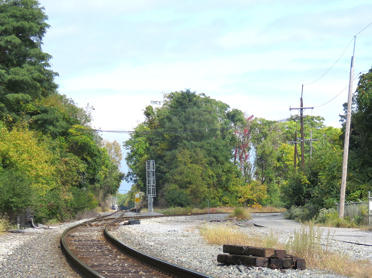
Moving on to Hagerstown, MD, I wanted to stop by CP-TOWN to check out the former PRR TOWN interlocking tower that was actually still in service until the early 2000's. By "in service" I mean that the US&S style C unit lever interlocking machine and/or its associated relay plant had been put under remote control of the dispatcher. After the area was re-signaled about 15 years ago the building was locked up and abandoned in place.

The CP-TOWN interlocking complex is located at a nexus of rail lines in the center of town where the PRR, N&W and Western Maryland all met. After the Conrail split of 1999, the somewhat sleepy Conrail Lurgan Branch became part of Norfolk Southern's hot route into the New York City market and the interlocking was re-built to reflect the new reality. Looking north the track to the far left became the main route through the plant shifting trains from the PRR alignment to the former N&W H-Line where through trains would ultimately reach the former Southern RR main line via Front Royal and Manassas. On the left left is the former Western Maryland main line to Baltimore now reduced to the unsignaled CSX Hanover Sub. Just out of sight, the Western Maryland further splits off a line to Chambersburg, PA. This was used for the Reading-Western Maryland interchange at Chambersburg as part of the famous Alphabet Route that allowed regional railroads to offer service between Boston and Chicago in competition with the major eastern roads such as the PRR, NYC, Erie and B&O.

I happened to catch a trio of NS engines were drilling the Hagerstown yard to make up a train with NS SD70ACe #1179 leading NS ES44 #8019 and a rare NS GP60 #7131


See I told you I'd have some actual rail content. Anyway come back next week as I head out to Ohio and visit CP-RAVE in Ravenna.
No comments:
Post a Comment