In this section we will start at Las Vegas, NM and work compass northward to the town of Raton at the foot of the more formidable of the two mountain crossings on the Southwest Chief route. This section and the next will comprise the entirety of the BNSF Raton Sub.
You can find the photos for this set here.
Just a few miles after leaving Las Vegas you head out onto a (mostly) flat featureless prairie with only Interstate 25 for company.

The one saving grace was that this was still TWC-ABS territory and that means more semaphore signals like these at the WATROUS siding.


There were a few brief segments of scenic terrain like this cut through a basalt flow.

Some of the semaphores had been replaced by color light signals, but the old semaphore bases and battery wells were still in evidence.

MP 722 automatics with a Mesa in the background and I-25 off to the side.


Here are the famous LEVY semaphores. The proximity of the highway and good light for the eastbound Southwest Chief makes this the go to place to photograph this train framed by blades.

Milepost 717 automatic semaphores.

Curved bridge at MP 700 south of Springer, NM.


At Milepost 692 we see an example of what all this flat grassland is good for. I believe that I had the steak for dinner later that night.

At the French, NM siding there is a second switch that leads to a long industrial track serving some coal mines out in the foothills. The reason the ATSF chose this route over the Raton pass as opposed to something with less hills was due to the presence of coal and other mineral wealth in this area. With the rise of the powder river basin and fracking, coal production on the old Raton Pass route dried up prompting BNSF to pull its traffic off the line.

Defect detector adjacent to I-25 with the MP 676 searchlight intermediate signals in the background.

Grass covered mountain at MP 669.

Our passing train surprised another cowboy on horseback at MP 663.

Arriving in Raton we find that the yard has not been ripped out, but it clearly hasn't seen any traffic in some time.

We had a few minutes at Raton to step out and walk around. I mentioned to another passenger I had been talking with at the back about how much more the sun here seemed to be burning me and I was given the "well duh" explanation that there was 6000 less feet of atmosphere to me from the radiation.

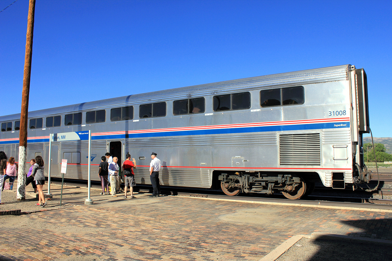
My photo platform Superliner 1 #31008.
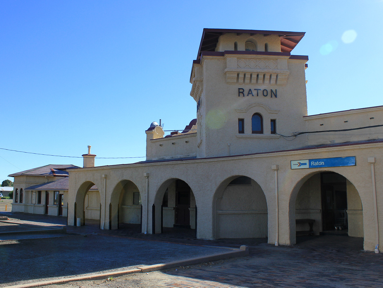
Raton station building.
Looking eastbound/north towards the mountain and the Raton Pass.

Well I am going to cut things short here. Next week we'll tackle the Raton Pass on our way to the
No comments:
Post a Comment